
BOOSTING REMOTE SENSING ECOSYSTEM: BRIN’S STRATEGIC ALTERNATIVE TO SPACE MANUFACTURING
(Source: inet.detik.com)
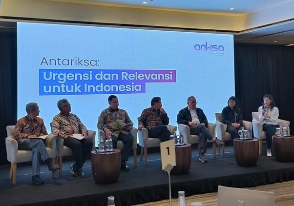
At the discussion forum “Outer Space: Urgency and Relevance for Indonesia” held on August 21, 2025, the Head of Indonesia’s National Research and Innovation Agency (BRIN), Laksana Tri Handoko, proposed a bold shift in strategy. Instead of pushing for expensive and time-consuming space manufacturing, Indonesia should focus on building a robust remote sensing ecosystem powered by satellite imagery.
Why Remote Sensing Matters for Indonesia
Indonesia is the world’s largest archipelago, with over 17,000 islands spread across vast seas. This geography makes the country one of the biggest global consumers of remote sensing data. Yet, despite the massive need, the cost of acquiring satellite imagery remains very high—even for government institutions.
Since 2022, BRIN has started building a national satellite constellation to generate its own data. The long-term goal is not just cost efficiency but also turning satellite data into a new revenue stream for the country.
BRIN’s Strategy: A National Remote Sensing Ecosystem
Reducing Costs and Dependency
Developing a domestic remote sensing system is a smart and realistic choice. With a huge internal market, Indonesia could even evolve into a global leader in remote sensing data supply, reducing reliance on foreign providers.
Government–Private Sector Synergy
BRIN envisions a model where the government builds core infrastructure—satellites, backend systems, and high-performance computing—while the private sector handles commercialization and operations. This creates opportunities for startups and data-driven industries in fisheries, agriculture, weather analytics, and disaster management.
Wide Applications Across Industries
Remote sensing applications extend across many critical areas:
- Maritime: monitoring fisheries and illegal fishing
- Agriculture: optimizing palm oil and crop production
- Climate & Weather: improving forecasting accuracy
- Disaster Management: detecting floods, landslides, and wildfires
- Urban Planning & Environment: supporting smart cities and deforestation monitoring
Technological Foundations and International Collaboration
BRIN has partnered with China’s IAMCAS to develop a mixed constellation of optical and radar satellites, ensuring data availability under diverse weather conditions.
Additionally, collaboration with UN-SPIDER, a United Nations initiative, provides technical support and global best practices in using satellite data for disaster management and environmental monitoring.
References:
- DetikInet. (2025). Manufaktur Antariksa Kejauhan, Kepala BRIN Ngide Genjot Remote Sensing. Retrieved from https://inet.detik.com/science/d-8073866/manufaktur-antariksa-kejauhan-kepala-brin-ngide-genjot-remote-sensing
- Antara News. (2025). BRIN Advocates Remote Sensing Ecosystem to Advance National Welfare. Retrieved from https://en.antaranews.com/news/374793/brin-advocates-remote-sensing-ecosystem-to-advance-national-welfare
- Antara News. (2022). BRIN Partners with China to Develop Satellite Constellation. Retrieved from https://en.antaranews.com/news/330177/brin-partners-with-china-to-develop-satellite-constellation
- UN-SPIDER. (n.d.). National Research and Innovation Agency (BRIN). Retrieved from https://www.un-spider.org/network/regional-support-offices/national-research-and-innovation-agency-brin

Comments :